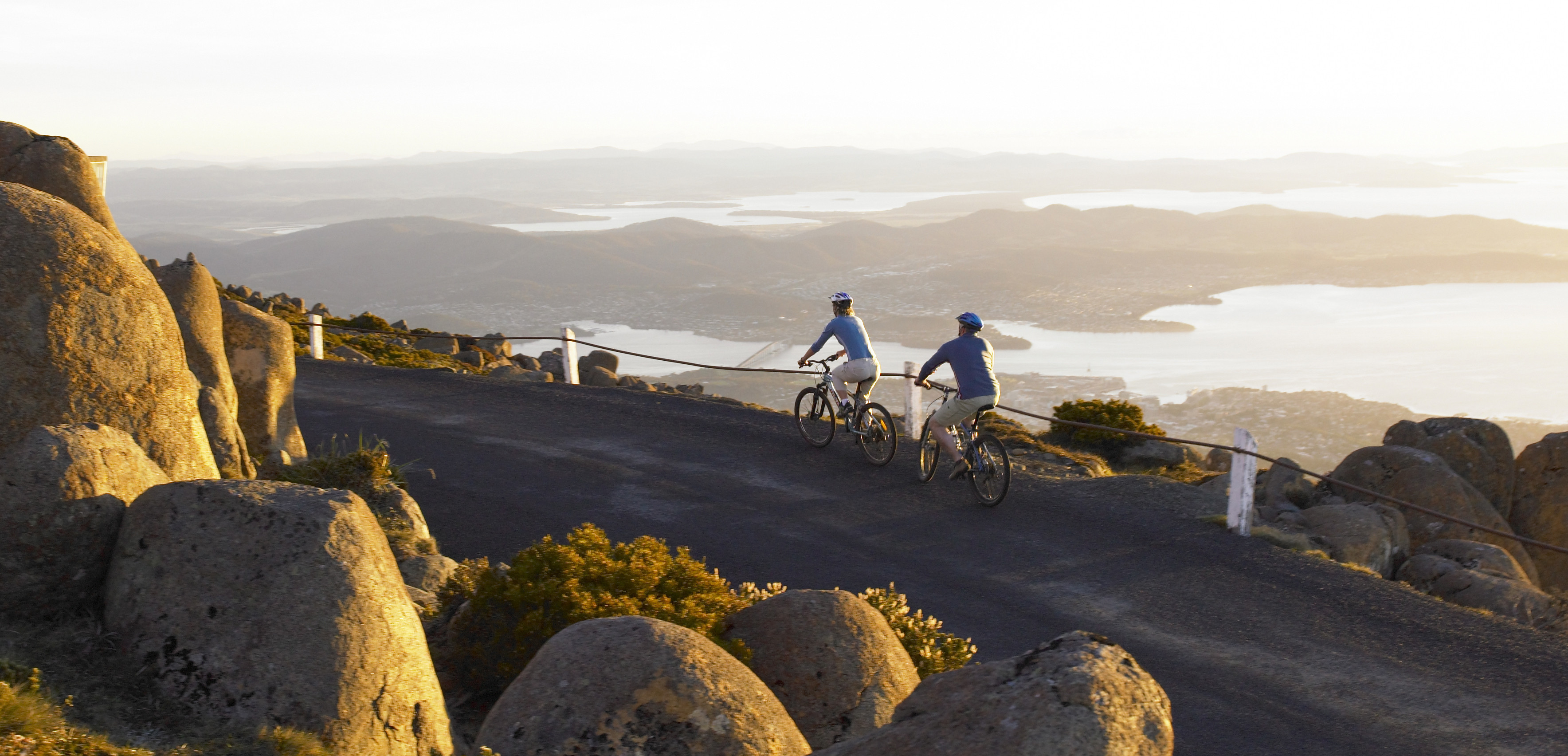
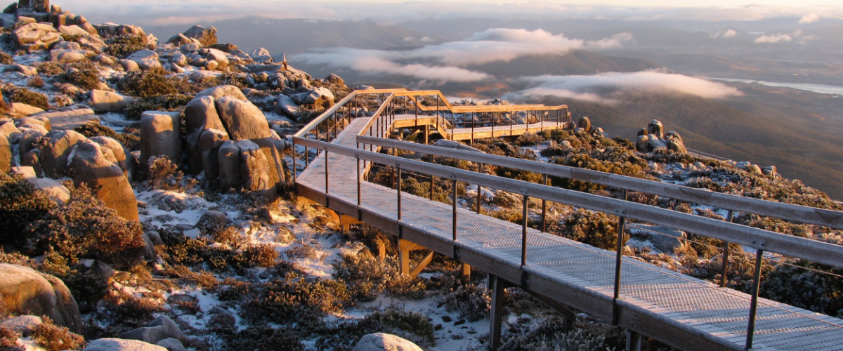
Mount Wellington, known to the local Indigenous people as kunanyi, dominates the Hobart skyline. In a country not exactly known for its mountains, kunanyi is very impressive, rising 1271 metres straight out of the harbour, its rugged peak often capped with snow. And for cyclists, the road to the lookout and visitor centre at the top is also one of the best climbs in the country.
If you’re climbing the mountain for the first time, we suggest starting right down at sea level at Salamanca Wharf — perhaps at one of the area’s many cafes, if caffeination is required.
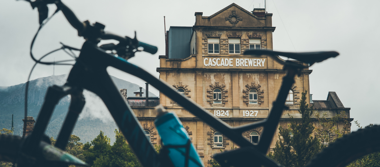
Once you’re clipped in and rolling, there’s a few different routes through town to the start of the climb proper, but our favourite way up the mountain takes you past the old Cascade Brewery, where the action really kicks off. Nearly 18 kilometres long at an average gradient of 6.7 percent, kunanyi is a serious climb; the fastest time on the main Strava segment, held by former Team Sky rider Nathan Earle, clocks in at an eye-wateringly fast 46 minutes, but unless you’re packing World Tour-level watts, rest assured that you’ll be out there for a little longer than that.

The first section of the climb, stretching along Strickland Ave from the brewery until the intersection with Huon Rd, is tough but manageable, the road slowly rising out of suburbia as the elevation increases. Try to get your breath back along the flattish part just before this intersection, because once you join Huon Rd — and, about one-and-a-half kays later, follow the road sign to the right to kunanyi / Mt Wellington — the gradient is pretty unrelenting.
It’s here on Pinnacle Road that the scenery starts to get more interesting, and you begin to get a sense of how high you’re climbing. After pushing through a couple of switchbacks in the forest, and a car park and picnic area at The Springs, you’ll hit a long, steep and straight section. But with the view only improving as you gain elevation, there’s plenty to distract you from the pain, with sweeping views over Hobart to the right and a stunning geological formation known as the Organ Pipes on the left.
As the road starts to bend westward, you’ll eventually pass The Chalet; from here, there’s not too long to go until the top, and you’ll notice the vegetation start to thin out even more, from forest to sub-alpine and finally alpine. Even on a good day it gets pretty windy up here, so keep two hands on the bars in case of any errant gusts; the low, hardy scrub and alpine grass doesn’t offer much in the way of shelter.
Once you’re at the top you’ll want to stop to take in the view, which has to be one of the most spectacular in Tasmania — if not the country — stretching off over the River Derwent and towards the Tasman Sea. You’ve definitely earned a rest, but try not to get too cold — even in the height of summer the weather up here can be chilly, and the wind intense, so make sure to pack a jacket, or gilet and arm warmers at least, for the ride back down.

As they say, what goes up must come down — so buckle in for a rip-roaring descent, and before you know it, you’ll be back in the CBD. The only decision left to make is where to go for that second coffee...
